Here in Israel, we’re currently confined to an official government radius which limits us to within one kilometer of our homes (there are a list of allowed activities — and the purpose of this post is not to delineate those).
In addition to the government radius Google Maps printout which now adorn the entryway to my apartment, I went in search, today, for a more hi-tech solution.
Here’s some of what’s available.
Desktop
The easiest way to figure out where the one kilometer radius around your house/apartment extends to is to use an online radius plotter and print out a few screenshots.
MapDevelopers.com has one such tool.
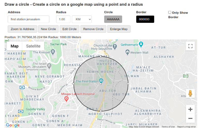
Zooming up, you can clearly see where the radius around a point intersects in your area.

Lior Kaplan, who is one of the most active participants in Israel’s open source community, has put together this tool too.
Android
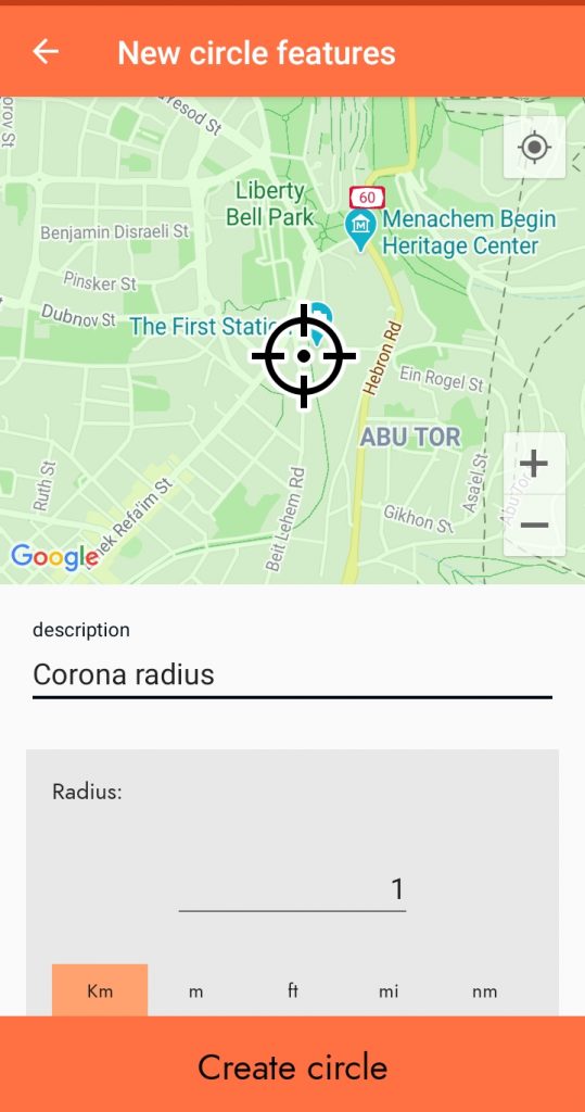
I wanted an Android app too so that I could view my live location on GPS as I walked and see where I was exactly in relation to my radius.
For that purpose, I needed two features:
- Draw and save a radius around my apartment
- Overlay my real time GPS position, and the saved radius, on Google Maps
It didn’t take much searching to find Distance Radius for Android.
Firstly, I drew a map around my house. For the purpose of this example, let’s keep the radius centerpoint as the First Station complex in Jerusalem:
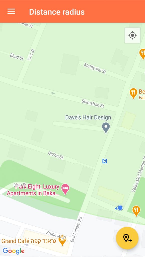
After creating and saving the circle — and turning on my GPS — all I had to do was open the app to see where my live position was in relation to the radius. My position is denoted as it is in Google Maps — with a blue dot and an arrow indicating the direction I am facing.
Download these apps to find out how far the radius can take you!


